01
Maritime map layer
Keep vessel context visible beside aircraft, satellites, weather, markers, and route history.
VESSEL TRACKING SOFTWARE
Cielos.ai helps teams search vessels, review identity context, and monitor maritime activity alongside aviation, satellite, and field-team layers.

CAPABILITIES
Connect maritime movement with normalized identity, flag, vessel type, authorization, and the other live layers around it.
Keep vessel context visible beside aircraft, satellites, weather, markers, and route history.
Review normalized vessel identity details, flags, vessel types, and authorization records where available.
Search known vessels by MMSI or open details from the live map when a maritime contact needs more context.
USE CASES
Vessel tracking is strongest when it is part of the same workspace as other moving assets and team decisions.
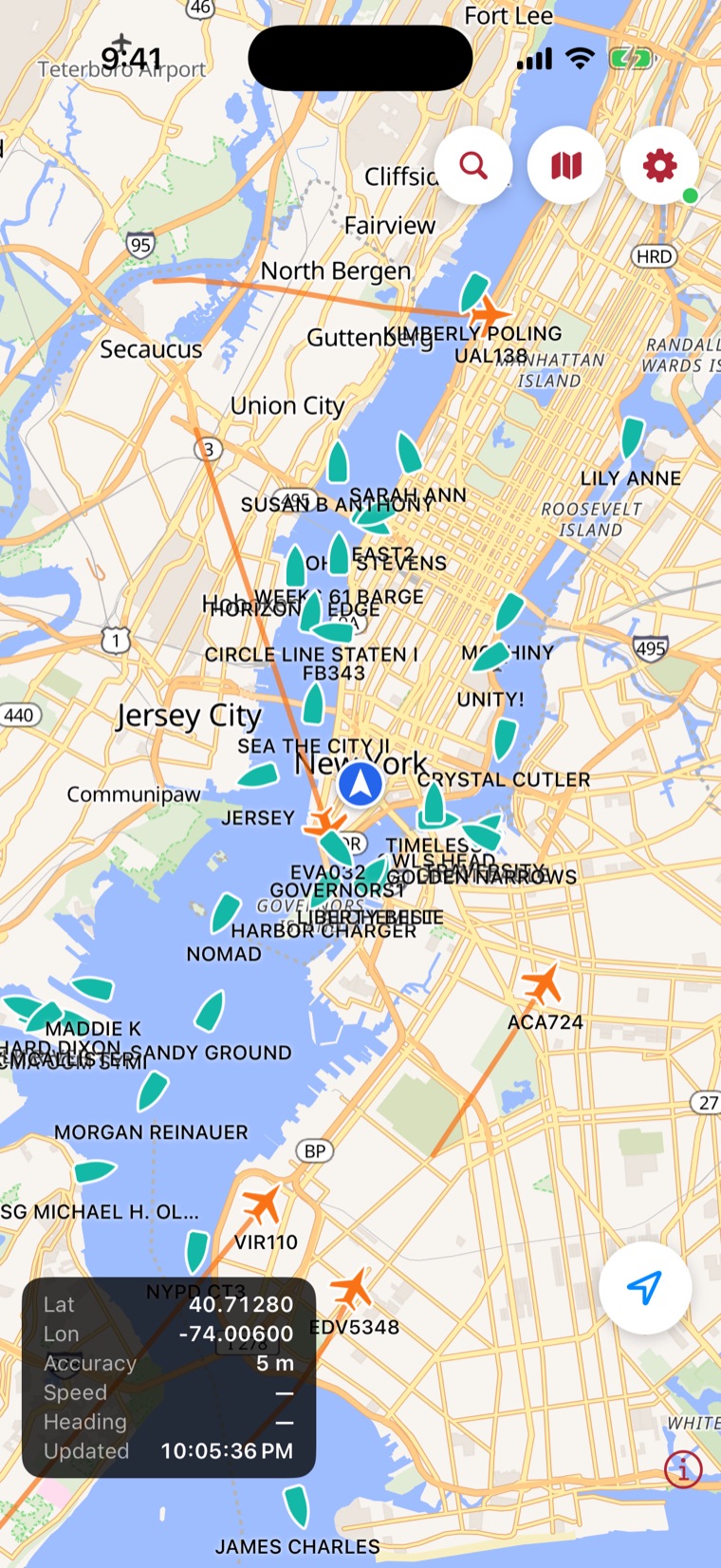
Also on iOS
Harbor traffic, live on your phone — every vessel named and moving, from tugs and ferries to tankers on approach.
Coming soonon the App StoreQuestions, answered
Vessel tracking software for maritime map context, identity enrichment, operational markers, and team workflows.
No. Live workspace data, searches, team activity, markers, dashboards, and saved operational records require authentication.
Connect maritime movement with normalized identity, flag, vessel type, authorization, and the other live layers around it. Key capabilities include Vessel map layer, MMSI search, Vessel identity context, Authorization records, Operational markers.
Yes. Authenticated users can create controlled, read-only links for a selected live location or recorded trip without exposing the rest of the private workspace.
One operating picture
Bring vessel activity, identity context, team markers, and the surrounding air and space picture into one private workspace.