01
Orbital object layer
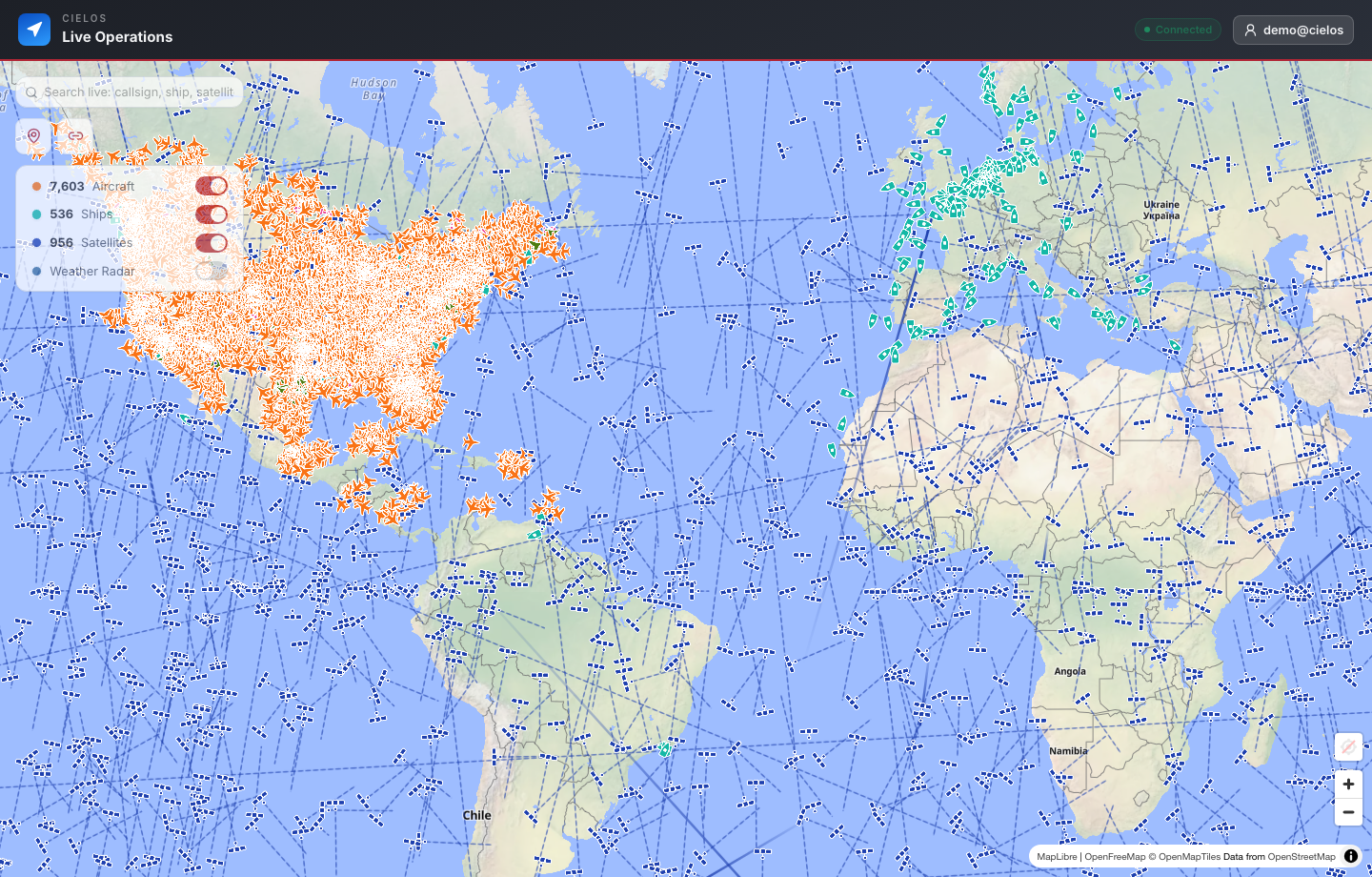
Display satellite and orbital object context in the same map experience as other live operational layers.
SATELLITE TRACKING SOFTWARE
Cielos.ai brings satellite catalog context into the same map where teams monitor aircraft, vessels, weather, markers, and trips.
CAPABILITIES
Connect orbital objects on the map to the catalog details and fleet-level patterns that help teams understand them.
Display satellite and orbital object context in the same map experience as other live operational layers.
Connect map objects to NORAD identifiers, ownership, object categories, and launch-year context.
Use dashboard summaries to understand catalog composition, top owners, and launch trends.
USE CASES
Satellite awareness is more useful when it appears next to the other layers teams already use for decisions.
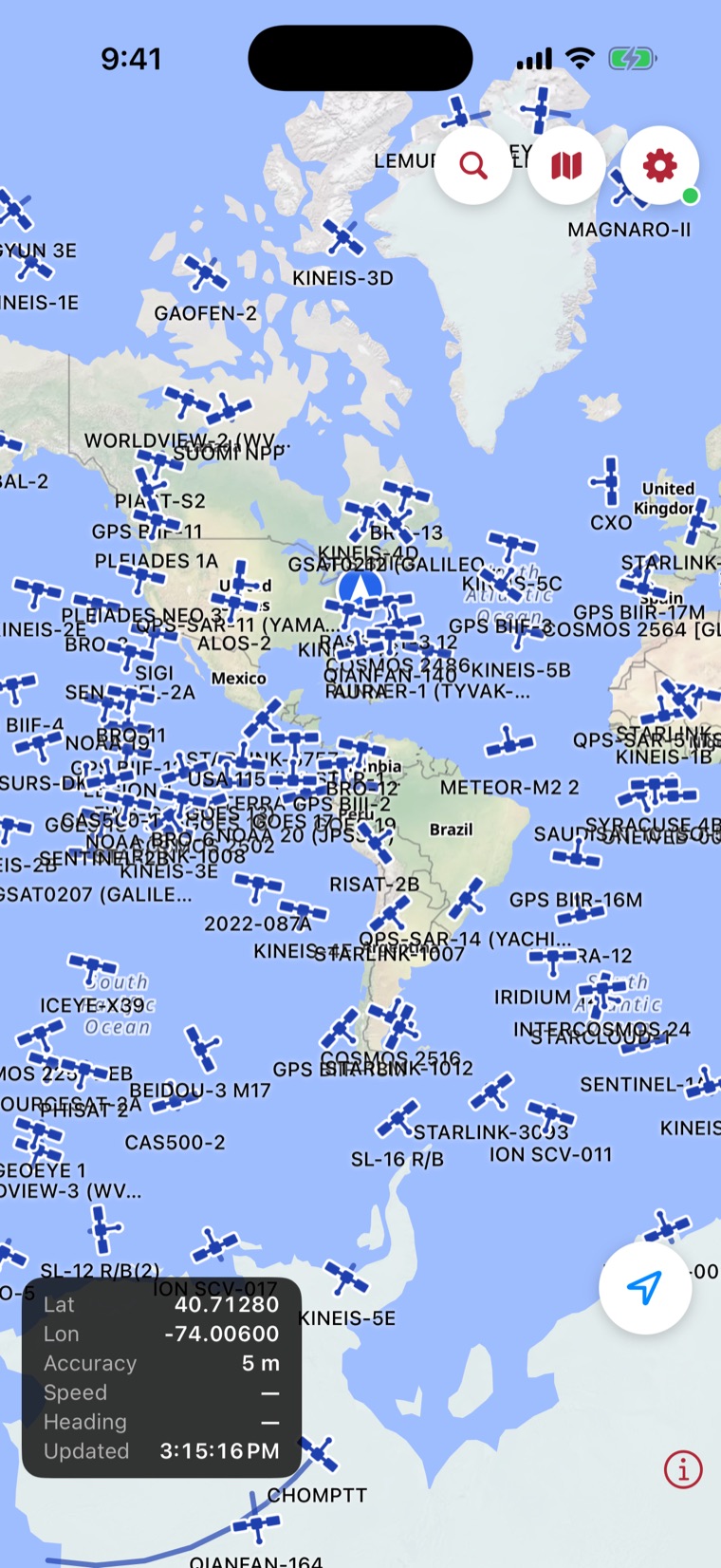
Also on iOS
Zoom out and the sky fills in — hundreds of live satellites, propagated in real time and named, from Starlink to Landsat.
Coming soonon the App StoreQuestions, answered
Satellite tracking software for SATCAT context, NORAD object lookup, live map layers, and geospatial operations.
No. Live workspace data, searches, team activity, markers, dashboards, and saved operational records require authentication.
Connect orbital objects on the map to the catalog details and fleet-level patterns that help teams understand them. Key capabilities include Satellite map layer, NORAD lookup, SATCAT context, Owner summaries, Launch trend dashboards.
Yes. Authenticated users can create controlled, read-only links for a selected live location or recorded trip without exposing the rest of the private workspace.
One operating picture
Follow orbital objects, resolve NORAD and SATCAT context, and compare space activity with air, sea, and weather layers.